
Construction
& Heavy
Power, Attachments
& Support
Utility, Lifting &
Material Handling

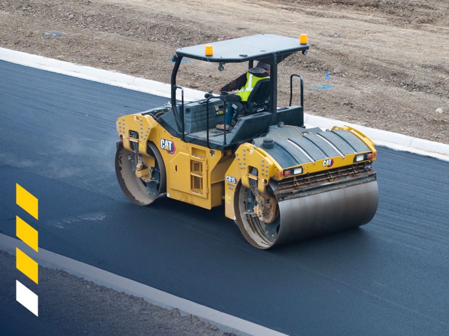
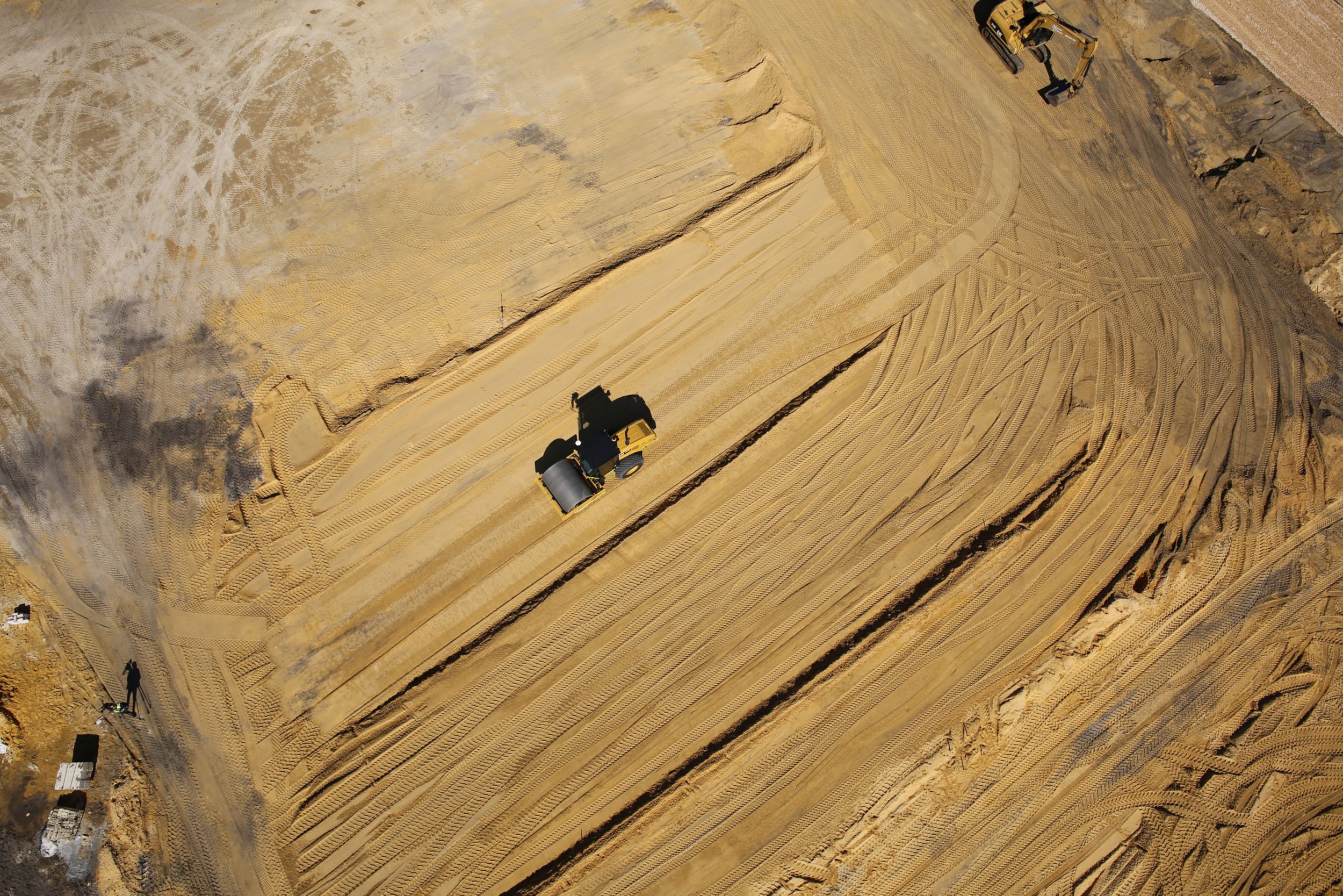
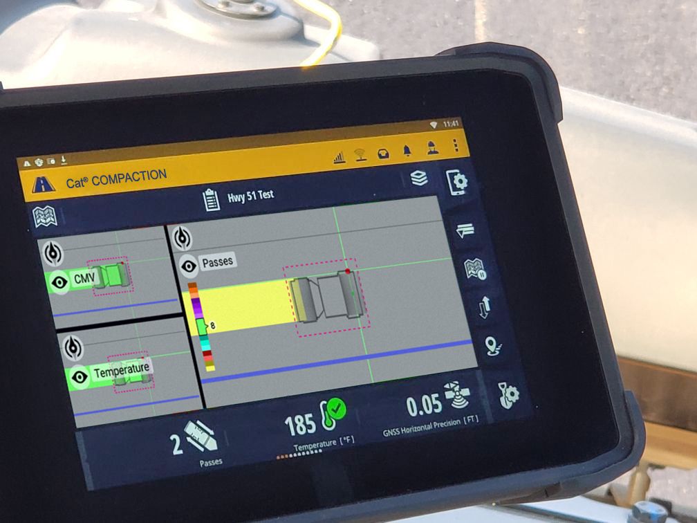
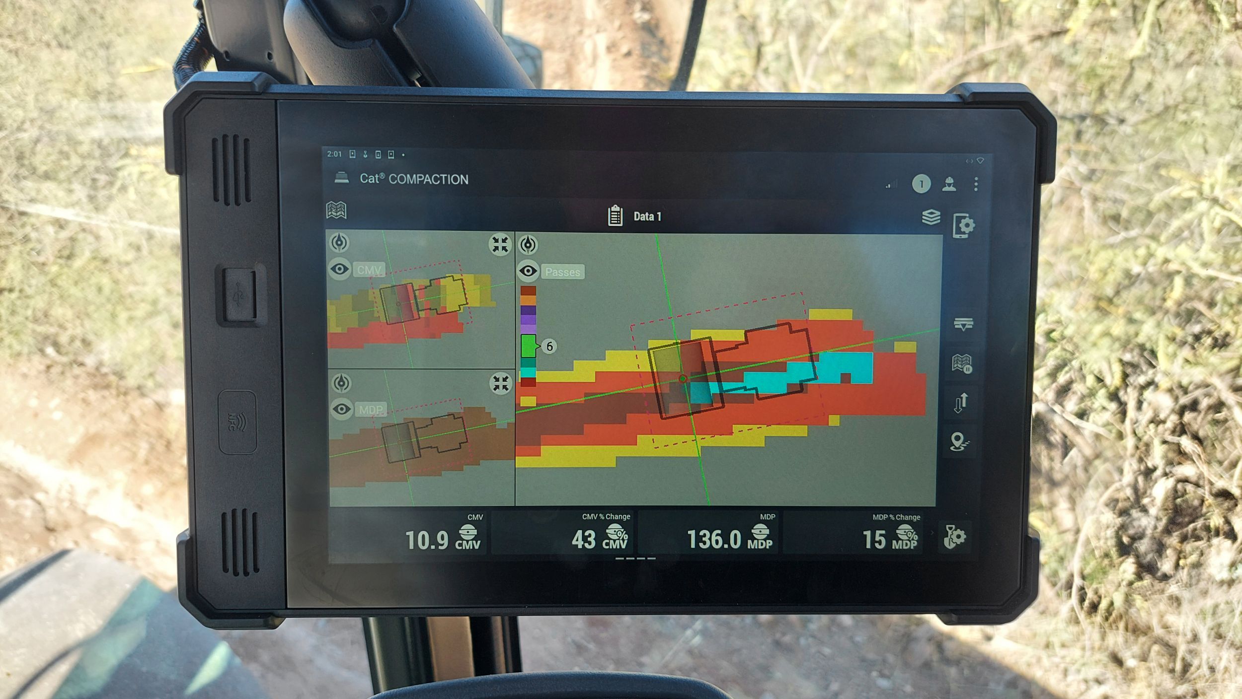
Mapping helps the operator visualize the work as it occurs. It helps to ensure that the compactor covers the entire jobsite and produces uniform work. It can also indicate problem areas allowing remediation to occur while the ground is open at a lower cost. Mapping can also document the work and provide data for analysis. Mapping technology is scalable with different levels of accuracy available.
This website uses cookies and other tracking technologies to enhance user experience and analyze our site performance and traffic. Further information is available in our Privacy Policy.