Skip to main content Skip to footer

Cat Grade with Thermal Mapping For Pavers

Cat Grade with Thermal Mapping For Pavers
Cat
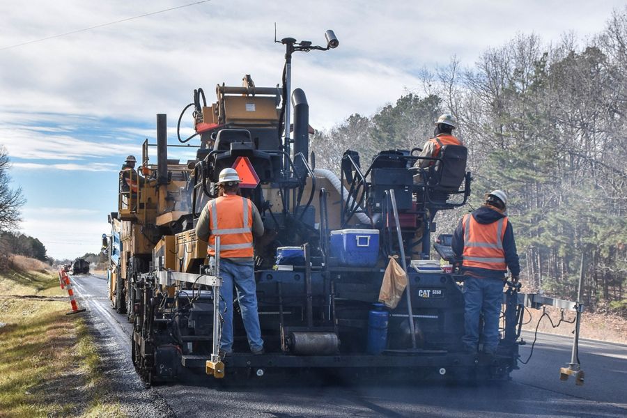
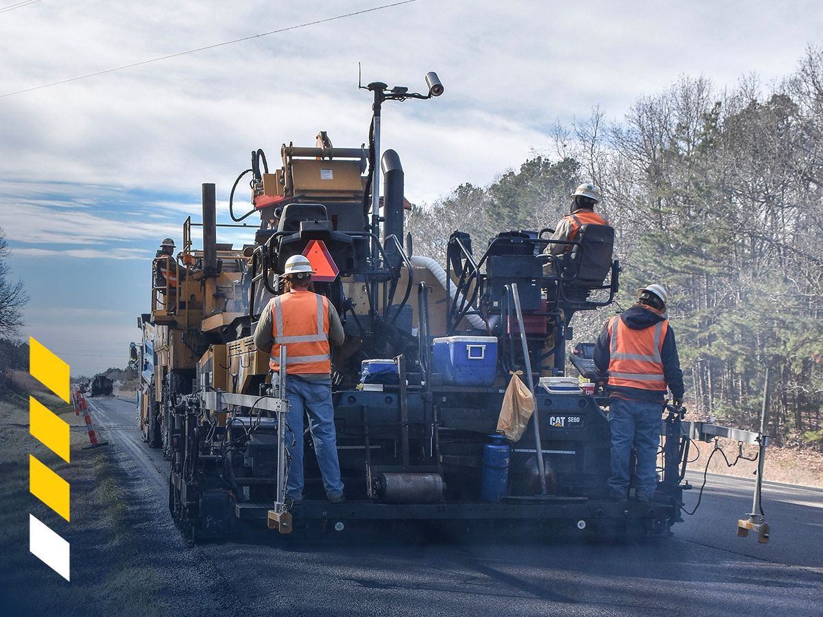
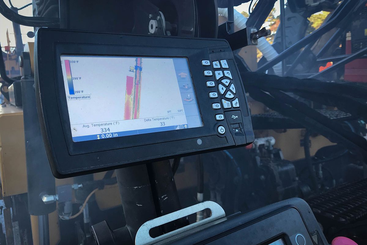
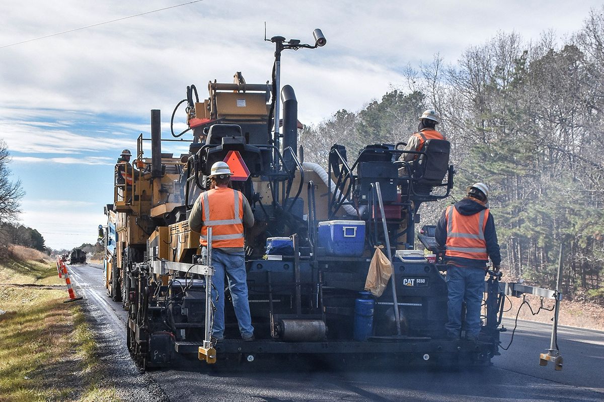
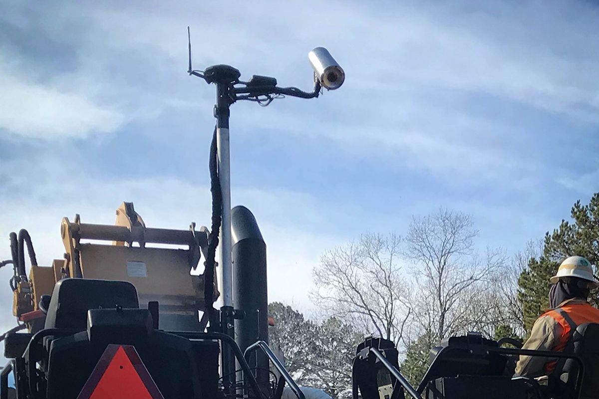
Thermal Mapping monitors the surface temperatures of the asphalt utilizing an infra-red camera and a Global Navigation Satellite System (GNSS) enabled by RTK accuracy. Viewing real-time temperatures, contractors can identify variations and take action to manage the plant to paver delivery process and fine-tune paving practices for more uniform lay-down temperatures.

Brochures and Spec Sheets

Gallery